Aquaveo Watershed Modeling System (WMS) 11.2.8 Win x64

Free Download Aquaveo Watershed Modeling System (WMS) 11.2.8 | 1.5 Gb
Owner:Aquaveo
Product Name:Watershed Modeling System (WMS)
Version:11.2.8
Supported Architectures:x64
Website Home Page :www.aquaveo.com
Languages Supported:english
System Requirements:Windows *
Size:1.5 Gb
Aquaveo, a water resources consulting company, is pleased to announce availabilityWatershed Modeling System (WMS) 11.2.8is a complete watershed solution used for automated delineation, hydrologic & hydraulic modeling, floodplain mapping, and storm drain modeling.
What’s new in WMS 11.2.8 – February 07, 2024
Rasters
– 14632 The quartile method of populating contour values fails for raster
Online Maps
– 14794 GUI Test: Can’t see map from new source
Map
– 14947 WMS Crash with Ridge arcs
– 14948 Converting specifc shapefile to feautre objects causes a crash
– 14966 WMS Crash computing top elevation
Export
– 14968 NEXRAD Data is Taking Unreasonably Long to Import
Dataset
– 14949 WMS Crash with edit values dialog
Installs
– 14970 WMS Preferences don’t match installer
HEC-1
– 14938 WMS Crash if no previous hydrograph station exists

The Watershed Modeling System (WMS)is a comprehensive environment for hydrologic analysis. It was developed by the Environmental Modeling Research Laboratory of Brigham Young University in cooperation with the U.S. Army Corps of Engineers Waterways Experiment Station. The software is currently being developed by Aquaveo. WMS offers state-of-the-art tools to perform automated basin delineation and to compute important basin parameters such as area, slope and runoff distances. It serves as a graphical user interface for several hydraulic and hydrologic models. With its management of coordinate systems, WMS is capable of displaying and overlaying data in real world coordinates. The application also provides many display tools for viewing terrain surfaces and exporting images for reports and presentations.
WMS
Instructional videos for the Watershed Modeling System (WMS) program developed by Aquaveo.
Aquaveois a pioneer of GIS-based software solutions for hydraulic, hydrologic and groundwater modeling. Our products have been refined over two decades to create the most advanced environmental modeling and visualization software available. In addition to interfacing with industry standard numerical models, we develop custom desktop and cloud-based applications tailored to specific needs. Aquaveo began as a part of the Engineering Computer Graphics Laboratory at Brigham Young University in 1985. The lab was reorganized and the name was changed in September, 1998 to the Environmental Modeling Research Laboratory (EMRL). In April, 2007, the main software development team at EMRL entered private enterprise as Aquaveo, LLC.
DONWLOAD FROM RAPIDGATOR
http://peeplink.in/ebf42d073dc1
DOWNLOAD FROM NITROFLARE
mg8go.SETUP.rar
DONWLOAD FROM UPLOADGIG
mg8go.SETUP.rar

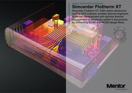
Siemens Simcenter Flotherm XT 2304.0 (23.13.2) Win x64
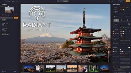
Radiant Photo 1.3.1.436 Multilingual (x64)